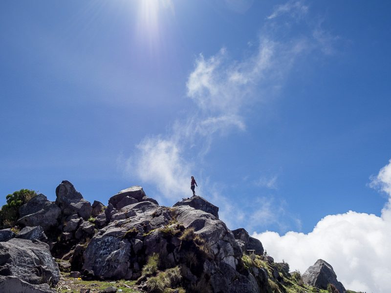
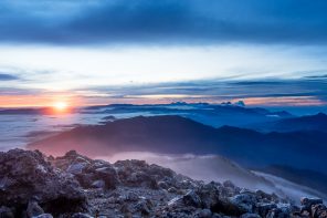
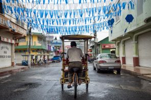
It may be a new world record for dirt cheap, yet, enviable adventure travel activities: I summitted Guatemala’s Volcan Santa Maria – elevation 3,772 m (12,375 ft) and only spent 4 Guatemalan Quetzales (US $0.50) to do so. Independent travel has never been so affordable!
RELATED POST: Trekking to the Top of Central America: Volcán Tajumulco, A Photo Essay
A little background on Volcan Santa Maria:
Volcan Santa Maria is located in Quetzaltenango Department of Guatemala, about an hour away from the city of Quetzaltenango (aka Xela) on a public bus.
Volcan Santa Maria itself is an active volcano, but hasn’t erupted from its summit since 1902 – which was the world’s third biggest volcanic explosion of the 20th century. Said explosion lasted 19 days, at its peak created a column of debris 16 miles (28 km) high, killed over 5000 people and darkened the skies over Guatemala for days.
Additionally, Volcan Santa Maria’s 1902 explosion tore a large hole in the mountain’s SW flank, forming a massive crater which has remained volcanically active since then. The year 1922 saw this crater form into a volcanic dome, named Santiaguito (still technically a part of Santa Maria), which has been growing ever since and exploding with considerable frequency in recent years and 2014. It has active lava flows as well. Yikes!
Note: It’s also possible to climb Santiaguito – check this blog post for a story and pics regarding said climb.
Why was my Volcan Santa Maria climb so inexpensive?
I traveled to Santa Maraa and hiked it independently – no official guide, no arranged transport, no meals, no nothing. Just myself, three friends and our daypacks on a daytime hike.
What makes an independent climb of Santa Maria a good idea:
- It’s unbelievably cheap. Q4 for roundtrip public transport, plus a packed lunch and two liters of water – it’ll be one of your cheapest days in Guatemala. Comparable Santa Maria hikes arranged through tour agencies will cost you around Q200 (which isn’t a ridiculous amount of money, but it’s a lot compared to Q4!).
- You can hike at whatever pace you prefer. Personally, I like to stop at my leisure to take photos, which works better without chronically impatient guides.
- According to my experience, there are only about two places on the trail you could possibly get lost or confused on this hike.s
Why you might consider going with a tour agency instead of independently:
- Transport will likely be arranged for you, or at least you’ll have someone to tell you where to go.
- You stand a near-zero percent chance of getting lost on the trail.
- You may be less likely to be robbed while hiking with a tour agency. Some agencies may even bring security or police for the hike – make sure to ask about this when booking/paying for hikes!
Disclaimer: one of us in our group of four had successfully summitted Santa Maria independently prior to our September 2014 hike, and provided the motivation for our group to attack the mountain without a guide. That said, having summitted the mountain successfully without a paid guide, I can now say that hiking Volcan Santa Maria is not so confusing nor so treacherous that a paid guide would be absolutely necessary in my opinion. But this is just my OPINION, and I recommend hiring a guide if going it alone is outside of your comfort zone.
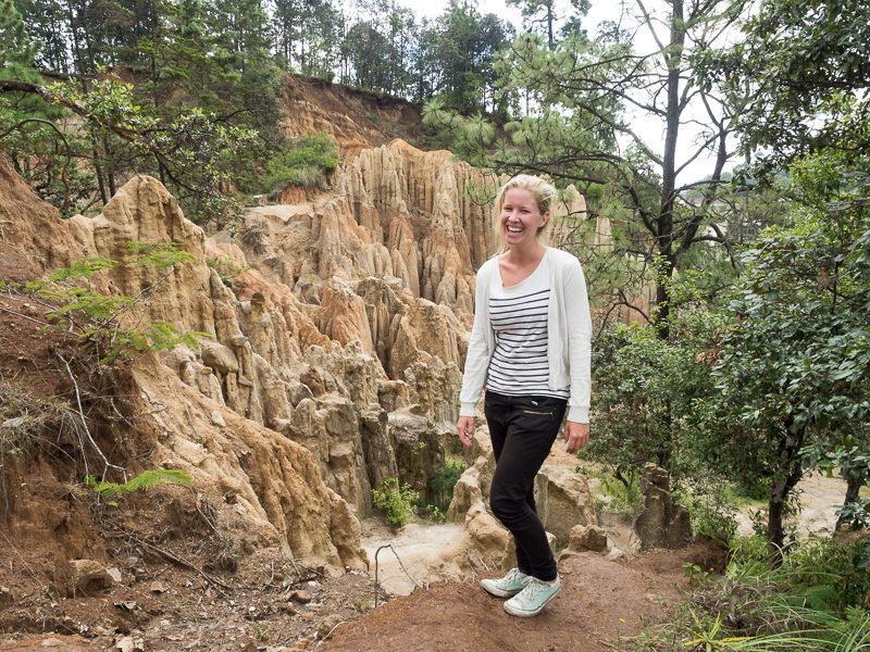
Blanca, of the Netherlands, led our war party. She claimed that this, her seventh ascent of Santa Maria, would be her last. We’ll see! (picture taken at Los Riscos, in Momostenango)
How to prepare to hike Volcan Santa Maria independently:
How much time to budget:
- More or less a full day. You’ll leave Xela in the morning and be back well before dinner. We completed our full up-and-back hike in six hours. Add transport in, and it’s more like eight hours in total (note that these times were with small daypacks – if you’re carrying more weight, it could take longer).
What to do a day or two prior to your hike:
- Call the tourist police (5908-0685) to let them know when you’ll be climbing Santa Maria (dates and times). You’ll need to speak a bit of Spanish for this, so get help from a Spanish-speaking friend if needed. Robberies have occurred on Santa Maria, but they’re not frequent.
What to expect:
- Moderate to high levels of physical activity (but no mountaineering experience, expertise nor equipment needed).
- If you have (for example) bad knees or extreme difficulty breathing at high altitudes, consider whether or not this hike is for you.
What you’ll need to bring:
- 4 Quetzales for transport (as of Sept 2014) – but of course bring a bit extra just in case the cost of transport increases or if you need to buy water or snacks in tiendas in Llano de Pinal before or after your hike.
- A packed lunch of some sort for consumption at the summit
- 2 liters of bottled water per person
- Sweater (dress in layers)
- Rain jacket, possibly rain pants as well if available
- Appropriate shoes for hiking
- Sunscreen
- A small first aid kit – likely problems include cuts, scrapes, blisters, and possible rehydration needs.
- Compass if you have one (not necessary but it never hurts)
- A fully charged cellphone, preferably with a Guatemalan SIM card. Cell signal is available during the climb, and should you get lost or hurt, a phone could be your ticket back to safety.
- Daypack of some sort for carrying the above items. (I used the LowePro Photo Sport 200 AW)
- Waterproof cover or trash bag for rain-proofing your day bag.
- Optional: hiking poles or walking stick.
Here’s how our full schedule for an independent day hike shook out:
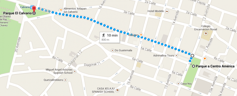
5:45 AM – Walk from Xela’s city center to Parque El Calvario.
Prior to boarding your bus, you’ll need to get yourself to Parque El Calvario. A walking map from Xela’s Parque a Centro America (“Parque Central”) is attached. Parque El Calvario is the triangular park adjacent to the main cemetery in Xela, and the bus will pull up on the SW side of the park.
6:00 AM – Hop a camioneta (chicken bus) from Parque Calvario to the town of Llano de Pinal.
Buses to Llano de Pinal are not constant here, so be a bit patient but vigilant. Also, expect the driver and/or ayudante to refer to it solely by the name “Pinal”. Same place.
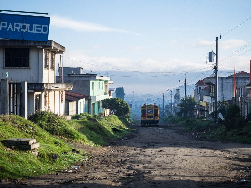
Once you’ve boarded the bus, expect about a one-hour ride to Pinal at a cost of Q2 per person (one way). The road will be hard packed dirt for the final portions of the route. It’s a little bumpy, but not intolerable.
For reference, here’s a Google Maps link that shows the starting and ending points of the bus trips: Parque El Calvario, next to the main cemetery in Xela, and the drop-off point, in Llano de Pinal (note that this route is INEXACT for actual bus route and only to illustrate start/end points).
During Guatemala’s rainy season (May/June – September/October), I wouldn’t recommend embarking from Xela much later than this due to predictable and sometimes intense rain showers in the afternoons. Also, buses may run earlier than 6:00 AM – this was just our starting point that we knew we’d all be able to actually wake up for!
7:00 AM – Arrive in Llano de Pinal.
Pinal is the terminus of the bus, so it’ll be almost impossible to miss your stop.
From here, you can start your hike on a footpath – if you follow the main road (the one that the bus will drop you on) to its terminus, south of town, you’re headed the right direction. For the next thirty or so minutes, you will be walking on a path lined by farmers fields. This is not actually part of Volcan Santa Maria – it’s just a path that’ll lead you to its base.
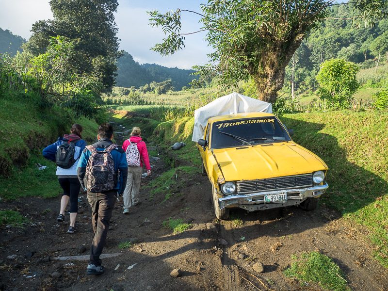
The entrance to the southbound footpath out of Pinal.
Attention! Just under 2 km into your hike (probably 30-45 minutes in), you will need to follow the trail LEFT towards the base of Santa Maria, but where to turn is not completely obvious. If you’re hiking independently, do like we did, and seek initial route approval from a local if available (for us, it was a friendly Guatemalteco on a horse that helped steer us to the right place to turn towards the volcano’s base). If you don’t speak much Spanish, that’s ok – just ask “Santa Maria?” the same way you might when boarding a bus between Guatemalan cities.
Also – I highly recommend checking this Summitpost.org link before embarking on an independent trip to Santa Maria – there’s good information there that’ll further illustrate how to pull this hike off.
7:45 AM – Arrive at the base of Volcan Santa Maria.
We came to a plateau/clearing near the base of Santa Maria and took about 10 minutes for a water/snack break.
This junction of trails is labeled as “La Meseta” on Google Maps – but there will be no signs for La Meseta and I don’t know if locals will even reference this area by this name. For visual reference, here’s a Google Maps link to the trail up Santa Maria, between “La Meseta” – this may not help you much during your hike, but may be worth referencing prior to departure.
Note that the trail forks here, and that you will need to head to your RIGHT (south) on a ditch-like trail. If you continue due EAST, you’ll never summit the volcano and will end up going circumspectly around the base of the mountain instead. Don’t do that.
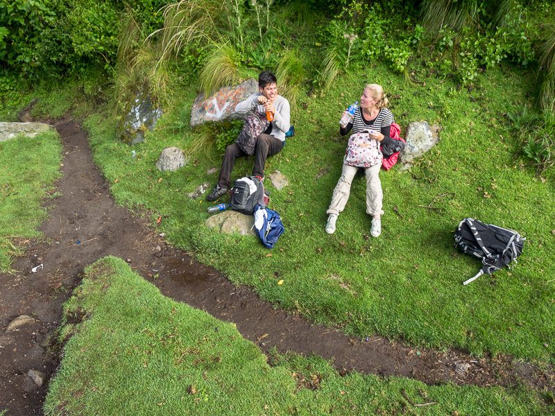
Quick break at the fork in the trail. To the bottom left of the photo (south), Santa Maria. To the bottom right, NOT Santa Maria. For directional reference: my compañeros are currently facing toward Santa Maria.
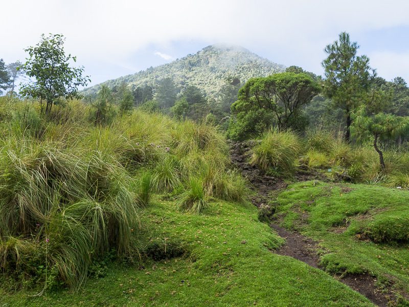
Where the path forks. Head south here through the brush. Note that with intense cloud cover, you may not see the same view from this point. You’ll need another 2.5 – 3.5 hours from this point to reach the summit of Volcan Santa Maria.
8:00 AM – Begin ascending Volcan Santa Maria.
The path up Santa Maria was quite obvious and well traveled – o nce you’re on this part of the route, it’ll be hard to get lost. Said trail was quite slippery and muddy in September of 2014 due to daily afternoon rains. Good boots or hiking shoes are recommended, but my group wore skate shoes and Converse without incident.
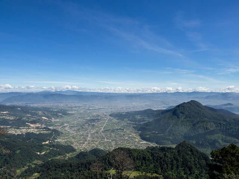
About halfway up Santa Maria, looking south – down on Pinal, as well as Xela in the distance. Volcan Cerro Quemado is on the right.
Expect to spend 2.5 – 3.5 hours ascending Volcan Santa Maria. It’s very steep at points, but you shouldn’t have to do any proper rock climbing nor scrambling.
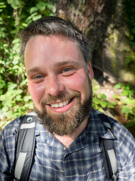
Me, wide angle portrait, sweating it out!
10:30 AM – Summit Santa Maria!
Congratulations, you’ve made it to the top! …or at least we did. Maybe you haven’t yet, but hopefully you will!
The summit of Santa Maria isn’t the stereotypical cartoon-like sunken cone of magma you’d imagine – it’s a wide rounded off point covered in boulders that have subsequently been tagged by every crappy graffiti artist that felt their name should live on forever atop this mountain, as well as the remnants of old campfires, broken glass, plastic bottles and telltale piles of toilet paper. Here, “don’t look down” applies more to the trash on the ground than the drop-off.
That said, with clear skies, you take in 360 degree views for miles around – the rocky, moon’s-surface-like expanse of Santiaguito can be seen to the southwest, Volcán Siete Orejas can be seen to the northeast, and Cerro Quemado is to the northeast. Tajumulco, Tacaná and Fuego can also be seen in the distance (though I wouldn’t be able point them out myself). Volcanoes and volcanoes and more volcanoes.
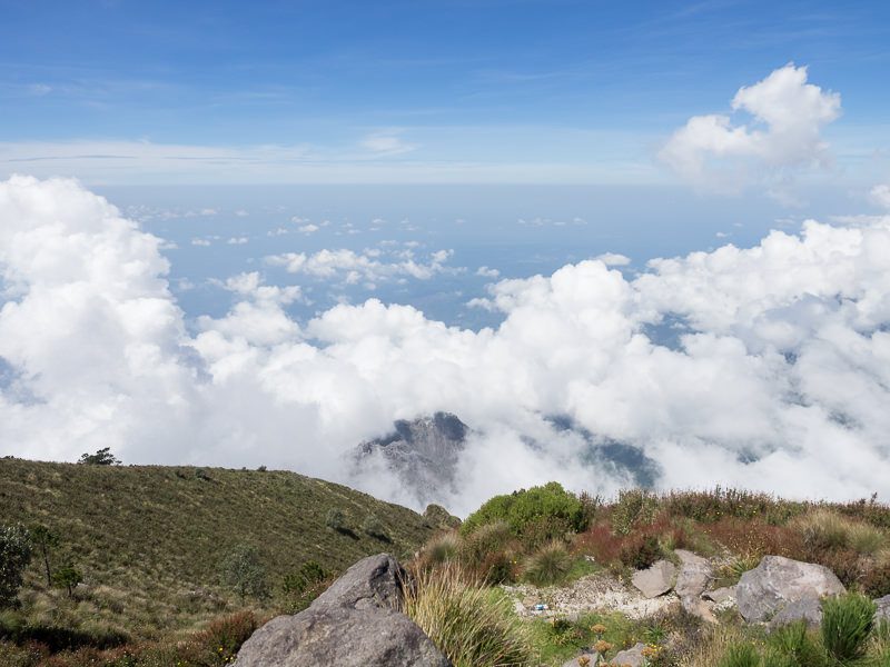
Looking southwest to Santiaguito, barely exposed in the clouds below.
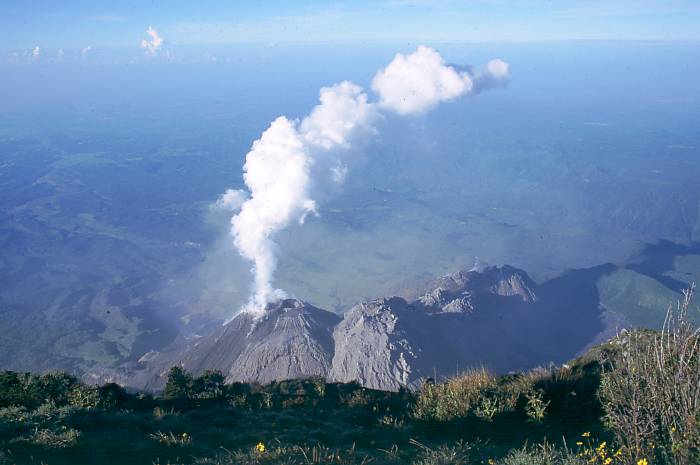
A view of Santiaguito (in 2004) from Santa Maria, via Wikimedia Commons (not my shot – I didn’t have a view as clear as this!).
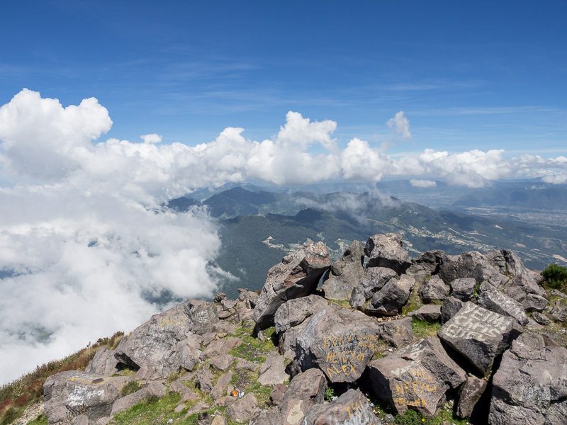
East of the summit.
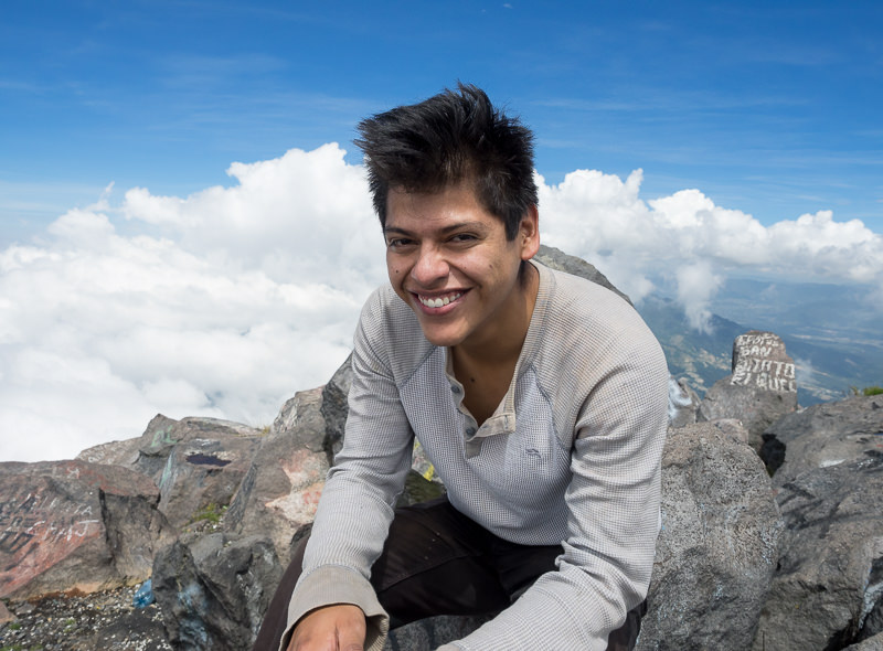
Hiking buddy Andres.
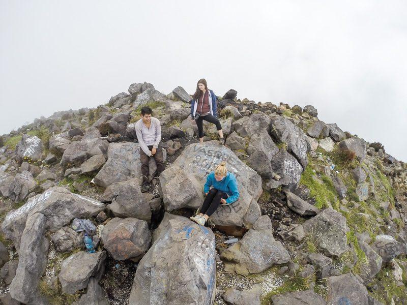
My team at the top (left to right: Andres, Jen, Blanca), now surrounded by clouds.
At 10:30 AM on a Tuesday, we were the only people at the top. As we left for our descent, a group of locals began to arrive with bouquets flowers – possibly for a Mayan ceremony of some sort, as the summit of Santa Maria like so many places in Guatemala, is holy. Clouds were now gathering for what looked like afternoon rains, so it was time to get off the volcano.
11:15 AM – Begin descent of Volcan Santa Maria.
Descent should take 1.5 – 2 hours with lightweight daypacks and a reasonable level of physical fitness.
We got off the mountain ALMOST just in time. At about 12:30 PM, the weather turned sour – lightning, thunder, heavy rains and even HAIL! Rain jackets and pack covers went on, but we still got soaked. The final track to Pinal, adjacent to farm fields, was now a river of horse shit and runoff. A great way to end the day!
1:00 PM – arrive at Llano de Pinal for bus ride back to Xela.
Another Q2 will get you back to Xela in a camioneta. From what I hear, the last bus leaves Pinal at 4:00 PM. Don’t be late!
2:00 PM – Hop off the camioneta at Parque El Calvario in Xela.
You’re done! Now you’ve got the rest of the afternoon to head home to your hostel or home stay (I have doubts you’re in a proper hotel if you’re trying to do hikes like this for Q4) for a meal and to nurse your aching “Santa Maria” legs. And don’t forget to brag about how tough you are, you cheapskate budget trekker, you.
NOTE: I would never recommend anyone attempt treks independently just to save a bit of money – your safety always comes first. So – if you relish the idea of climbing Santa Maria but don’t want to go it alone, reach out to the below known Xela-based tour operators to check trekking schedules and pricing.
Xela-based tour/trekking operators:
This post was written and last edited in September of 2014. The safety situation of climbing Santa Maria may have changed since then due to volcanic activity and/or crime, so use your judgement and do your research accordingly.
Thanks for reading! If you read this post and have valuable information to add (or corrections, elucidations, etc), please don’t hesitate to comment below.

